
“The similarities in their trajectories make them feel less like relics than warnings.”
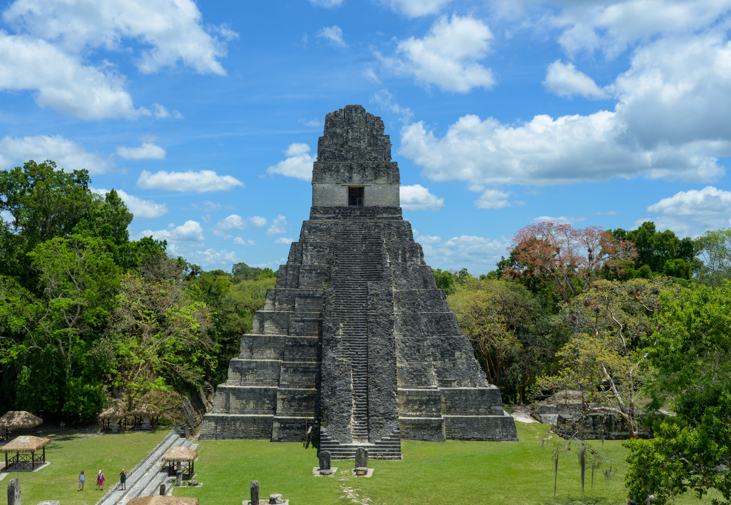
The Grand Plaza of Tikal in Guatemala. Courtesy of Lauren Mowery.
Standing in the grand plaza beneath an azure sky and beaming sun, I imagine life here in 700 CE. It’s the apex of Maya civilization in the northern jungle of modern-day Guatemala. Tikal, with its 5,000 structures, was a node in the vast network of cities spread across Honduras, Belize, and Mexico. I’ve seen the pictures – its towering temples breaching a verdant canopy of dense foliage. The jaguars and monkeys and snakes loping, swinging, and slithering between residences, pyramids, and ball courts. Now here I stand, listening to howler monkeys roar in the distance like monsters in the forest, setting the ominous tone for the story that unfolded in this place.
At its peak, roughly 60,000 to 80,000 people lived within Tikal’s limits, despite the fact that the city had no river, no lake, and no natural water source nearby. The water table sat more than 600 feet underground, so survival depended on engineering. Maya builders dug ten reservoirs with a combined capacity of roughly 40 million gallons, then sealed them with black clay and a lime plaster so durable that scientists still study it today. They mixed sap from chukum and jiote trees into quicklime, creating a composite that has outlasted much of the ancient world. They also developed what is considered the earliest known water purification system, filtering rainwater through volcanic zeolite and quartz sand.
The same civilization that solved one environmental problem, unfortunately, created another. The Maya used cinnabar, a vivid red pigment made from mercury sulfide, to paint temples, decorate ceramics, and coat the bodies of elite dead. Over time, rain washed that pigment into the reservoirs, where it settled into the sediment. When researchers analyzed cores from the reservoir beds in 2020, they found mercury levels as high as seventeen times the toxic threshold. The Maya were poisoning their own water.
The Maya were also among the most sophisticated astronomers of the ancient world. They tracked Venus, predicted eclipses, and aligned temples and plazas with the movements of the sun, moon, and stars. That cosmology shaped daily life, from farming cycles to ceremonies. Their calendar was so precise that modern astronomers still study it. Clever, however, has yet to be proven an equal match to climate.
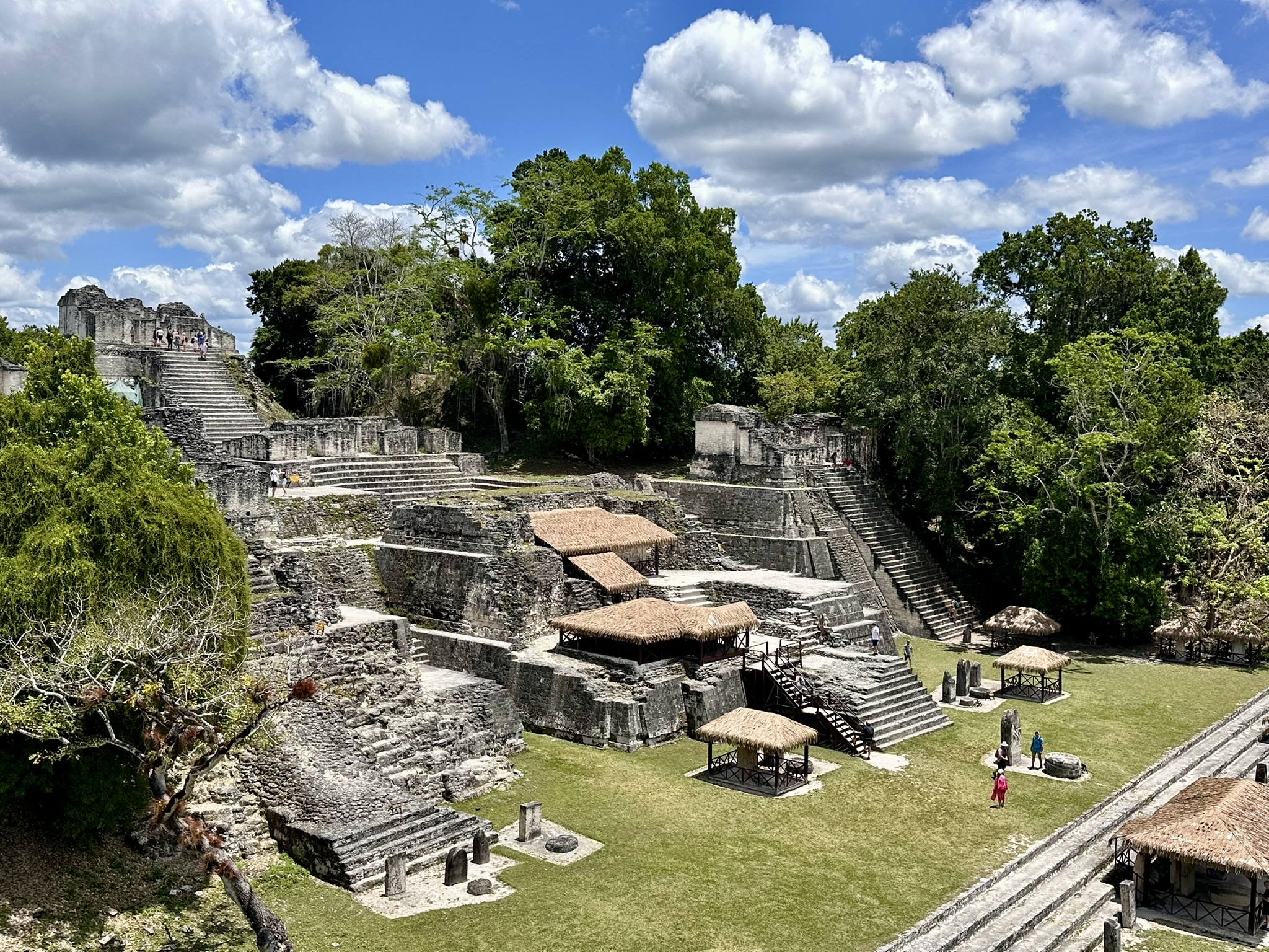
Tikal remained hidden in the jungle of northern Guatemala for 1000 years. Courtesy of Lauren Mowery.
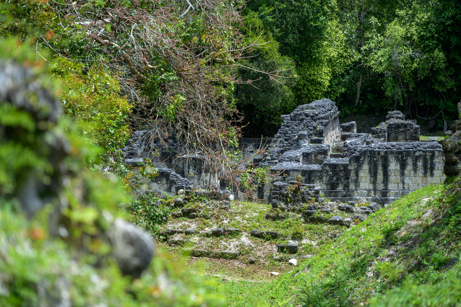
At some point, Tikal entered a period of extreme drought. The Maya stripped the surrounding land as they grew their agricultural economy. Their use of wood to fire lime kilns accelerated deforestation. Eventually, the reservoirs dried up, contributing to mercury contamination in the population’s remaining water reserves. In response, city-states fought over power and resources. By around 900 CE, the community collapsed, leaving Tikal abandoned wholesale.
The ruins stood empty for nearly a thousand years. In the mid-1800s, Ambrosio Tut, a chiclero harvesting latex from sapodilla trees, came upon the site, which eventually led to an official expedition commissioned by the Guatemalan government. Hernán Cortés had passed within miles of Tikal in 1525 and saw nothing. By then, the jungle had swallowed it almost completely.
Ascending Temple IV for that famous view across the canopy, I listened as our guide gestured toward the emerald expanse and said that all of it had once been paved. The jungle had since returned, hiding a world built beneath it.
What makes these ruins unsettling is not that they belong to a distant, vanished past. It is that the mechanisms of collapse sound uncomfortably contemporary: water contamination, deforestation, infrastructure stress, drought, migration, trade disruption, and political fragmentation. The difference between then and now, however, is scale: lost civilizations ended or displaced thousands of lives. Today, thanks to globalization, a comparable failure will touch the lives of billions.
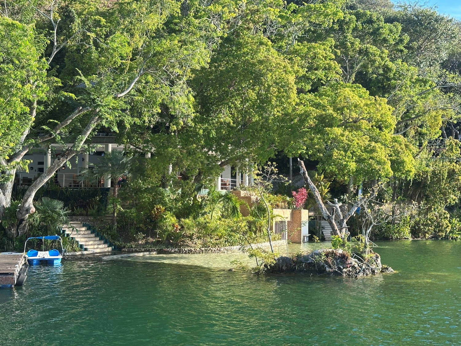
Hotel Bolontiku sits on a lake about 90 minutes south of Tikal. Courtesy of Lauren Mowery.
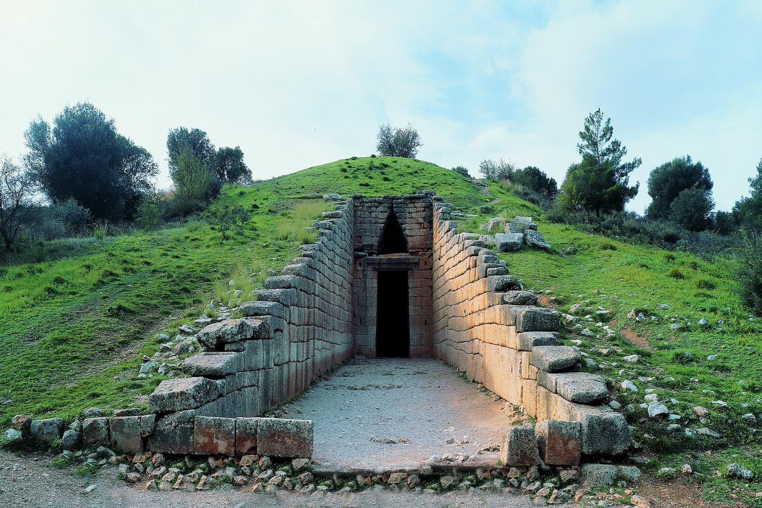
Treasury of Atreus (Tomb of Agamemnon), Mycenae, Greece. Courtesy of TAP (Hellenic Ministry of Culture e-Tickets).
Mycenae, Greece
Mycenae at a glance: Civilization: Mycenaean Greece, 1600–1100 BCE
Collapsed: 1200 BCE
Collapse drivers: drought, migration, warfare
The Mycenaeans built one of the earliest palace civilizations in Europe. Their complexes stretched across the Greek mainland, sophisticated enough to support one of the earliest known writing systems, Linear B. They mastered bronze metallurgy, and their trade stretched across the eastern Mediterranean and beyond. The Lion’s Gate at Mycenae, carved from massive limestone blocks without mortar, still stands after 3,200 years. Their wealth was such that Homer, writing centuries after their fall, still remembered them as the dominant power of the heroic age.
Their collapse appears to have been part of the wider Bronze Age breakdown around 1200 BCE. Paleoclimate evidence points to prolonged drought across the eastern Mediterranean, while Egyptian records describe waves of displaced peoples arriving by sea. At the same time, trade networks frayed, and the palace economies that depended on surplus grain and regional exchange began to fail. Within a few generations, Mycenae had fallen along with several neighboring powers, and writing disappeared from Greece for centuries.
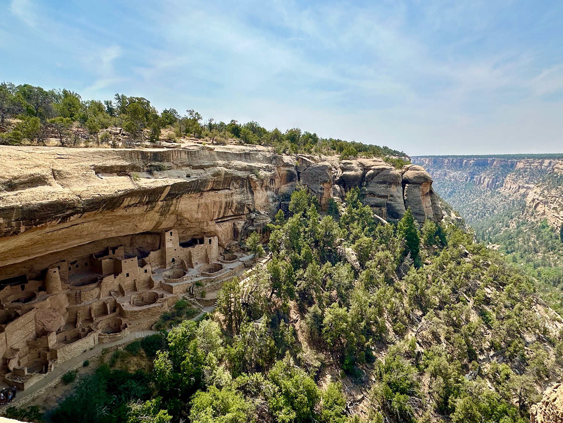
Cliff Palace inside Mesa Verde National Park. Courtesy of Lauren Mowery.
Mesa Verde, Colorado
Mesa Verde at a glance: Civilization: Ancestral Puebloan, 600–1300 CE
Collapsed: 1276–1300 CE
Collapse drivers: prolonged drought, resource depletion, escalating conflict
Mesa Verde National Park protects more than 600 cliff dwellings and thousands of archaeological sites, the remains of a society that flourished here for centuries. Most visitors picture only the cliff dwellings, but the earliest communities lived and farmed on the mesa tops, growing corn, beans, and squash in a dry landscape with long winters and little margin for error. Only later did people begin building into the cliff faces, creating the stone villages, towers, and kivas that now define the park. At Cliff Palace, the largest dwelling, the architecture still feels exacting: hand-hewn blocks fitted into tight seams, plaster-smoothed walls, and circular ceremonial spaces sunk into the ground.
By the late 1200s, Mesa Verde was under strain. A prolonged drought hit the region, but archaeologists do not believe climate alone explains why people left. Population pressure had already pushed local resources closer to their limits, and evidence of regional conflict suggests growing instability as conditions worsened. By 1300, the settlements had been abandoned.
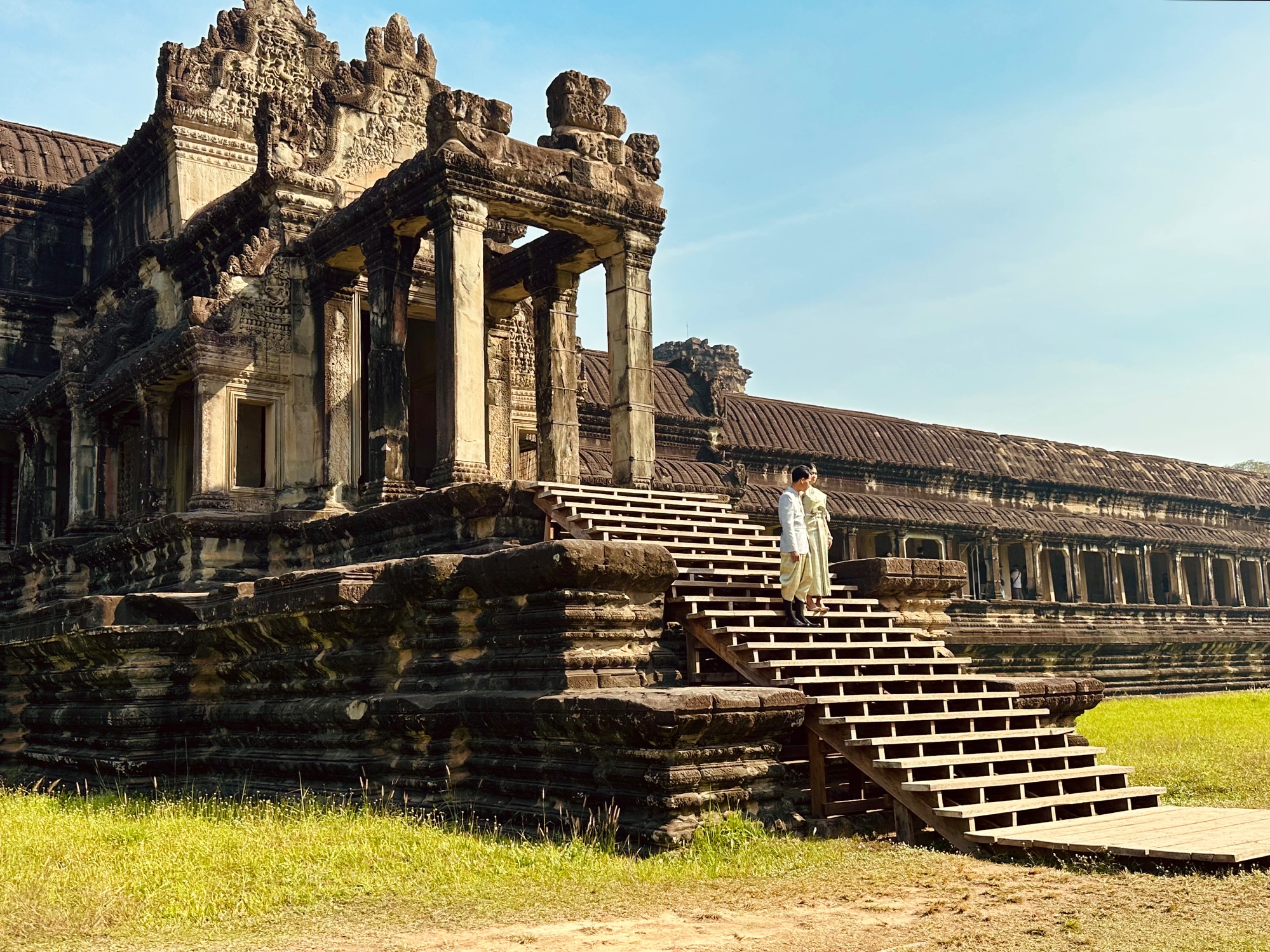
Angkor Wat Complex at Siem Reap, Cambodia. Courtesy of Lauren Mowery.
Angkor, Cambodia
Angkor at a glance: Civilization: Khmer Empire, 802–1431 CE
Collapsed: 15th century CE
Collapse drivers: mega-drought, flooding, military pressure
At its height, Angkor was the largest pre-industrial city on earth. Angkor reached that scale through advanced hydraulic engineering. The Khmer built a network of reservoirs, canals, and moats spanning nearly 1,000 square kilometers, capturing monsoon rains and distributing water across a landscape that received little to no rain for months at a time. Angkor Wat, built in the early 12th century, remains the largest religious monument ever constructed. On the spring equinox, the sun rises over its central spire. The empire unified much of mainland Southeast Asia and produced a wealth of art and architecture still renowned today.
Eventually, Angkor’s ingenious water network became one of its weak points. Tree-ring records from across Southeast Asia show decades of alternating mega-droughts and catastrophic flooding between roughly 1300 and 1450 CE, conditions the network could not handle. As canals silted up and embankments failed, it became harder to sustain the population, while military pressure from Ayutthaya mounted from the west. After Ayutthaya sacked Angkor in 1431, the population gradually shifted south toward Phnom Penh, and the canals were overtaken by the jungle within decades.
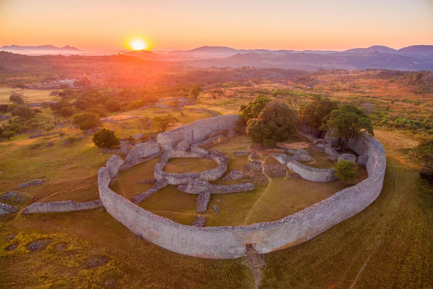
Great Zimbabwe. Courtesy of Zimparks.
Great Zimbabwe, Zimbabwe
Great Zimbabwe at a glance: Civilization: Kingdom of Zimbabwe, Shona, 1100–1450 CE
Collapsed: 1420–1450 CE
Collapse drivers: strain on resources, drought, shifting trade networks
For more than three centuries, Great Zimbabwe was the most powerful kingdom in southern Africa. Its Shona rulers controlled the gold trade between the continental interior and the Swahili Coast. Archaeologists have found Chinese pottery, Persian ceramics, and Arab coins in the ruins, evidence of far-reaching trade networks. The Great Enclosure’s dry-stone walls stretch roughly 250 meters in circumference and rise nearly 10 meters high. Built without mortar, they have stood for centuries.
When European colonists arrived in the 19th century, many refused to believe Africans had built the site. Great Zimbabwe, however, emerged from a longer regional tradition of urban development that included Mapungubwe, farther south.
The reasons for the abandonment are not fully understood, but pressure on land and resources is considered a likely factor. Large herds of cattle may have over-grazed the surrounding lands, while extensive farming likely exhausted the soil. Drought may also have contributed to the kingdom’s eventual fragmentation and fall. By the mid-15th century, the city had been largely abandoned.

Founder and CEO of Azure Road, Lauren Mowery is a longtime wine, food, and travel writer. Mowery continues to serve on Decanter Magazine’s 12-strong US editorial team. Prior to joining Decanter, she spent five years as the travel editor at Wine Enthusiast. Mowery has earned accolades for her writing and photography, having contributed travel, drinks, food, and sustainability content to publications like Food & Wine, Forbes, Afar, The Independent, Saveur, Hemispheres, U.S. News & World Report, SCUBA Diving, Plate, Chef & Restaurant, Hotels Above Par, AAA, Fodors.com, Lonely Planet, USA Today, Men’s Journal, and Time Out, among others.
Pursuing her Master of Wine certification, she has also been a regular wine and spirits writer for Tasting Panel, Somm Journal, VinePair, Punch, and SevenFifty Daily. Mowery is a graduate of the University of Virginia and Fordham Law School, and she completed two wine harvests in South Africa.
Follow her on Instagram @AzureRoad and TikTok @AzureRoad
North Stars: Heritage Value, Water Management, Wildlife Ecosystems
More Stories
 DRINK
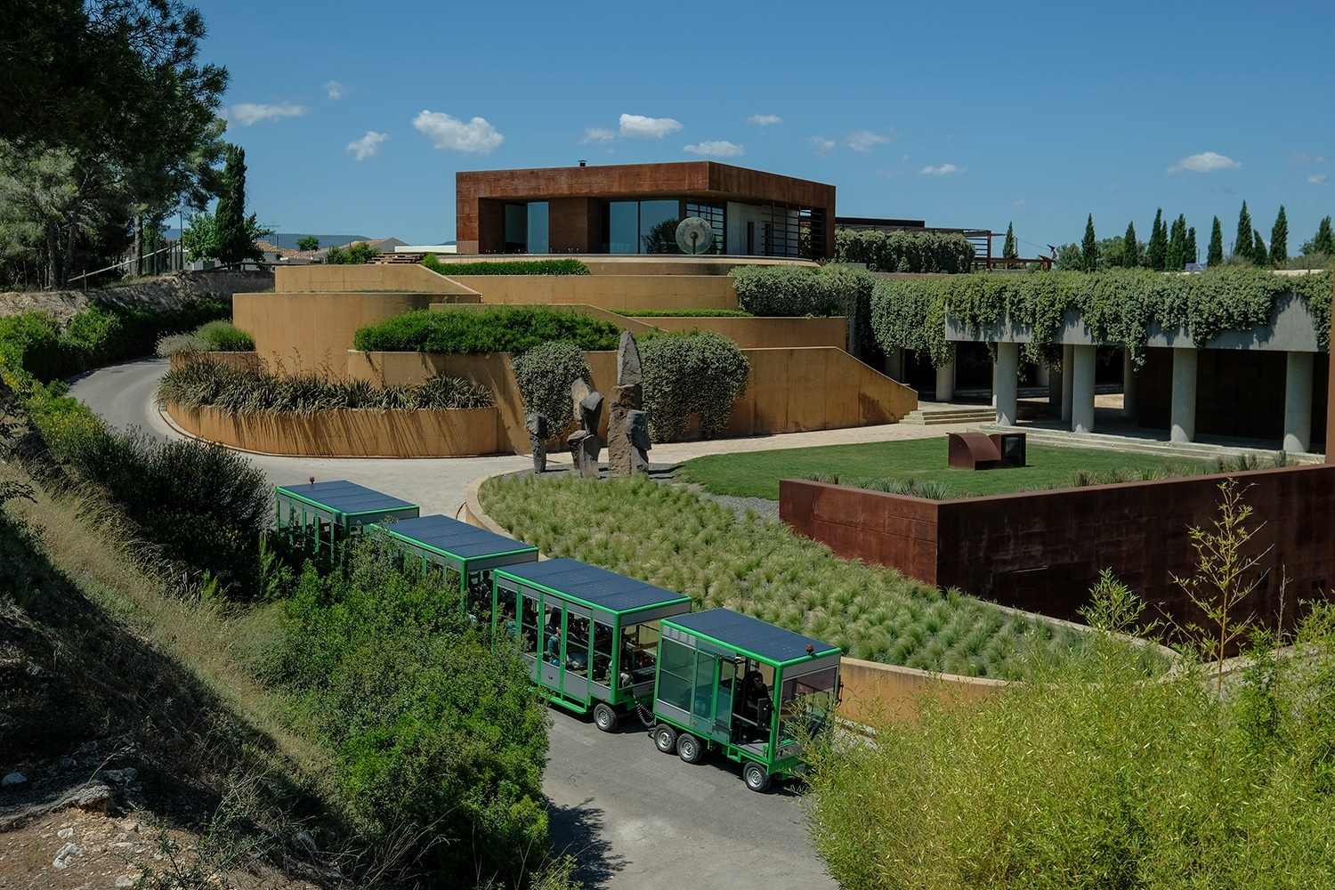
DRINKExploring Penedès, Spain’s Sparkling Wine Paradise
 DRINK
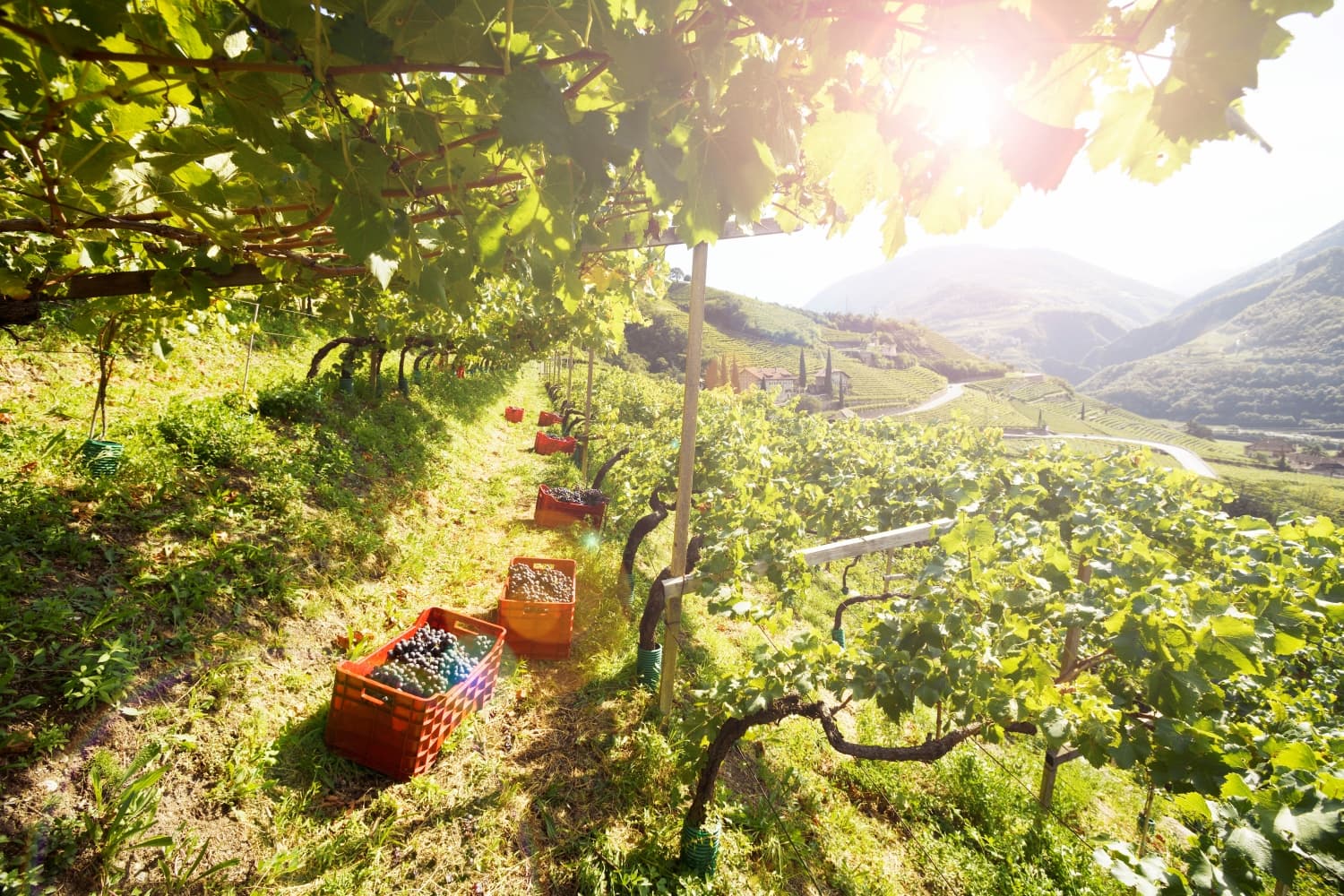
DRINKAzure Road Impact Award Drinks Finalists
 DRINK
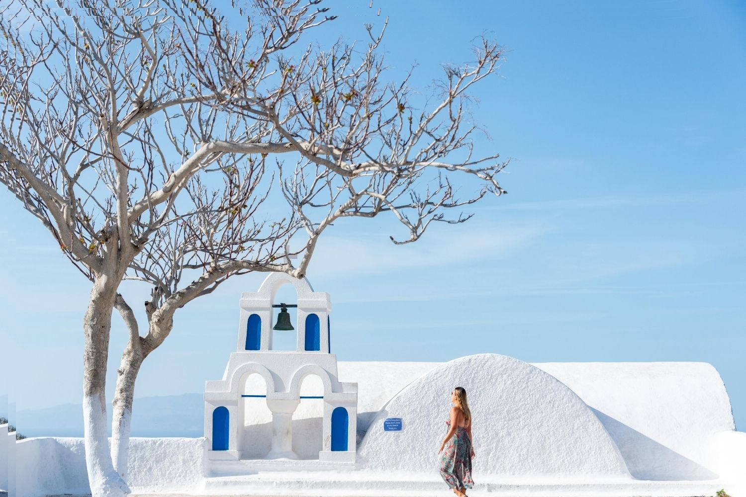
DRINKWhy Now Is the Time to Cellar Santorini Assyrtiko
 DRINK, PARTNERSHIP
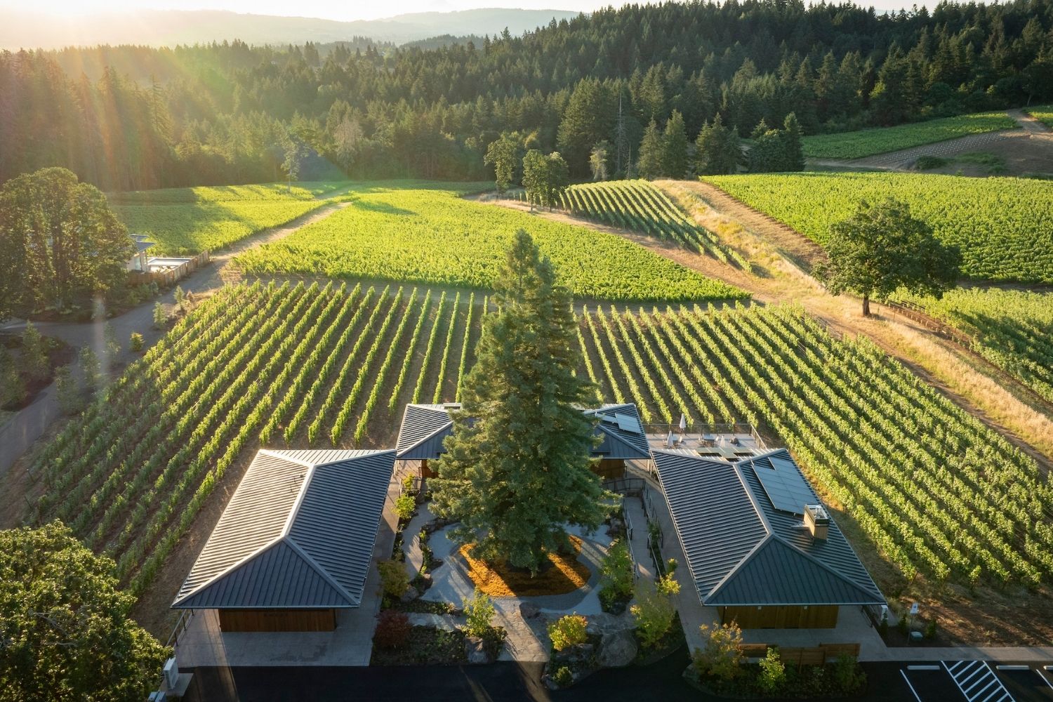
Ambar Estate Is Farming for Tomorrow in Oregon’s Willamette Valley
 DRINK, PARTNERSHIP
Crafting Alto Adige’s Future: The Evolution of Cantina Colterenzio
